
Berea topographic map
Interactive map
Click on the map to display elevation.
About this map
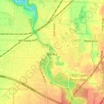
Name: Berea topographic map, elevation, terrain.
Location: Berea, Cuyahoga County, Ohio, 44017, United States (41.34410 -81.89644 41.39016 -81.83736)
Average elevation: 242 m
Minimum elevation: 213 m
Maximum elevation: 258 m