
Gunzgen topographic map
Interactive map
Click on the map to display elevation.
About this map
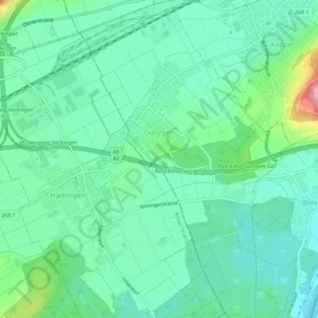
Name: Gunzgen topographic map, elevation, terrain.
Location: Gunzgen, Bezirk Olten, Amtei Olten-Gösgen, Soleure, 4617, Suisse (47.29387 7.81784 47.32762 7.85092)
Average elevation: 434 m
Minimum elevation: 399 m
Maximum elevation: 543 m