
Champvent topographic map
Interactive map
Click on the map to display elevation.
About this map
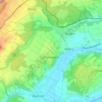
Name: Champvent topographic map, elevation, terrain.
Location: Champvent, District du Jura-Nord vaudois, Vaud, 1443, Suisse (46.76668 6.53420 46.80401 6.59554)
Average elevation: 513 m
Minimum elevation: 432 m
Maximum elevation: 706 m