
Thank you for supporting this site ❤️
Make a donation
Make a donation
Luinga topographic map
Click on the map to display elevation.
Thank you for supporting this site ❤️
Make a donation
Make a donation
About this map
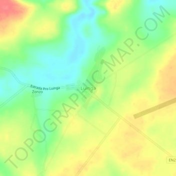
Name: Luinga topographic map, elevation, terrain.
Location: Luinga, Cuanza Norte, Angola (-8.48718 15.58767 -8.44718 15.62767)
Average elevation: 1,209 m
Minimum elevation: 1,177 m
Maximum elevation: 1,244 m
Thank you for supporting this site ❤️
Make a donation
Make a donation