
Gander topographic map
Interactive map
Click on the map to display elevation.
About this map
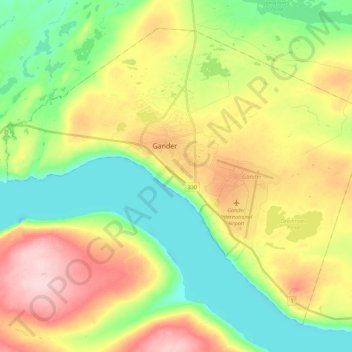
Name: Gander topographic map, elevation, terrain.
Location: Gander, Newfoundland, Neufundland und Labrador, Kanada (48.88498 -54.72110 49.00797 -54.49882)
Average elevation: 100 m
Minimum elevation: 18 m
Maximum elevation: 220 m