
Lamartine topographic map
Interactive map
Click on the map to display elevation.
About this map
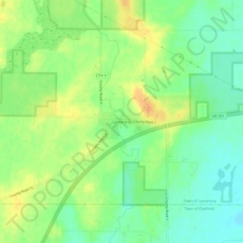
Name: Lamartine topographic map, elevation, terrain.
Location: Lamartine, Fond du Lac County, Wisconsin, USA (43.71332 -88.58872 43.75332 -88.54872)
Average elevation: 267 m
Minimum elevation: 251 m
Maximum elevation: 285 m