
Thank you for supporting this site ❤️
Make a donation
Make a donation
Colesburg topographic map
Click on the map to display elevation.
Thank you for supporting this site ❤️
Make a donation
Make a donation
About this map
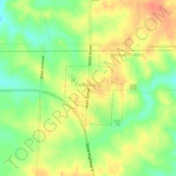
Name: Colesburg topographic map, elevation, terrain.
Location: Colesburg, Delaware County, Iowa, United States (42.63222 -91.20692 42.64576 -91.19478)
Average elevation: 345 m
Minimum elevation: 319 m
Maximum elevation: 366 m
Thank you for supporting this site ❤️
Make a donation
Make a donation