
Red Sea Hills topographic map
Interactive map
Click on the map to display elevation.
About this map
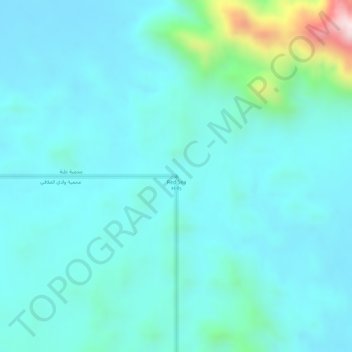
Name: Red Sea Hills topographic map, elevation, terrain.
Location: Red Sea Hills, Red Sea Governorate, Egypt (22.99995 34.99995 23.00005 35.00005)
Average elevation: 448 m
Minimum elevation: 379 m
Maximum elevation: 794 m
Other topographic maps
Click on a map to view its topography, its elevation and its terrain.
Gebel Umm Taghir al Fuqani
Gebel Umm Taghir al Fuqani, Red Sea Governorate, Egypt
Average elevation: 614 m
Zaafaranah
Egypt > Red Sea Governorate > Zaafaranah
Zaafaranah, Red Sea Governorate, Egypt
Average elevation: 56 m