
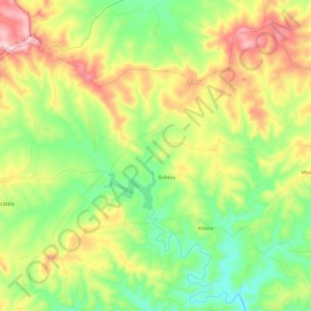
Mnquma Ward 19 topographic map
Interactive map
Click on the map to display elevation.
About this map
Name: Mnquma Ward 19 topographic map, elevation, terrain.
Average elevation: 886 m
Minimum elevation: 717 m
Maximum elevation: 1,164 m
Other topographic maps
Click on a map to view its topography, its elevation and its terrain.
Xilinxa River
RSA > Eastern Cape > Mnquma Local Municipality
Xilinxa River, Mnquma Local Municipality, Amathole District Municipality, Eastern Cape, RSA
Average elevation: 788 m