
Bad Wildbad topographic map
Interactive map
Click on the map to display elevation.
About this map
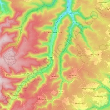
Name: Bad Wildbad topographic map, elevation, terrain.
Average elevation: 688 m
Minimum elevation: 376 m
Maximum elevation: 946 m
Other topographic maps
Click on a map to view its topography, its elevation and its terrain.
Wildberg
Germany > Baden-Württemberg > Landkreis Calw > Wildberg
Wildberg, Landkreis Calw, Baden-Württemberg, 72218, Germany
Average elevation: 532 m