
Horsefair topographic map
Interactive map
Click on the map to display elevation.
About this map
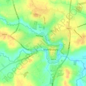
Name: Horsefair topographic map, elevation, terrain.
Location: Horsefair, Malmesbury, Wiltshire, England, United Kingdom (51.58631 -2.10242 51.58666 -2.10186)
Average elevation: 83 m
Minimum elevation: 67 m
Maximum elevation: 96 m