
Chocolá topographic map
Interactive map
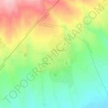
Click on the map to display elevation.
About this map
Name: Chocolá topographic map, elevation, terrain.
Average elevation: 808 m
Minimum elevation: 695 m
Maximum elevation: 943 m
Other topographic maps
Click on a map to view its topography, its elevation and its terrain.
San Pablo Jocopilas
Guatemala > Suchitepéquez > San Pablo Jocopilas
San Pablo Jocopilas, Suchitepéquez, Guatemala
Average elevation: 693 m