
Cascia topographic map
Interactive map
Click on the map to display elevation.
About this map
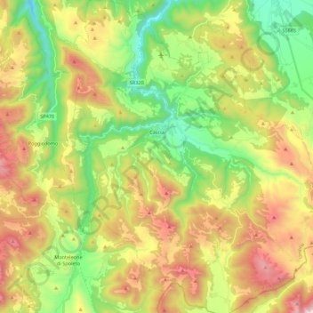
Name: Cascia topographic map, elevation, terrain.
Location: Cascia, Perugia, Umbria, 06043, Italia (42.62380 12.94593 42.78468 13.16211)
Average elevation: 995 m
Minimum elevation: 467 m
Maximum elevation: 1,741 m