
San Luis topographic map
Interactive map
Click on the map to display elevation.
About this map
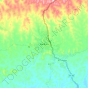
Name: San Luis topographic map, elevation, terrain.
Location: San Luis, Petén, Guatemala (16.16044 -89.47966 16.24044 -89.39966)
Average elevation: 405 m
Minimum elevation: 285 m
Maximum elevation: 650 m