
Vélez topographic map
Interactive map
Click on the map to display elevation.
About this map
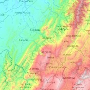
Name: Vélez topographic map, elevation, terrain.
Location: Vélez, Santander, Colombia (5.70671 -74.52666 6.56407 -73.46521)
Average elevation: 1,175 m
Minimum elevation: 84 m
Maximum elevation: 3,780 m
Other topographic maps
Click on a map to view its topography, its elevation and its terrain.
Bucaramanga
Colombia > Santander > Bucaramanga
Bucaramanga, Santander, Colombia
Average elevation: 1,196 m