
Amonde topographic map
Interactive map
Click on the map to display elevation.
About this map
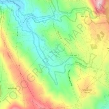
Name: Amonde topographic map, elevation, terrain.
Location: Amonde, Viana do Castelo, Portugal (41.76759 -8.77799 41.80181 -8.74386)
Average elevation: 198 m
Minimum elevation: 55 m
Maximum elevation: 393 m