
Thank you for supporting this site ❤️
Make a donation
Make a donation
Oventeni topographic map
Click on the map to display elevation.
Thank you for supporting this site ❤️
Make a donation
Make a donation
About this map
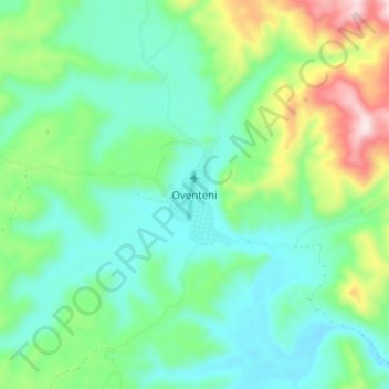
Name: Oventeni topographic map, elevation, terrain.
Location: Oventeni, Raymondi, Atalaya, Ucayali, Perú (-10.79385 -74.26100 -10.71385 -74.18100)
Average elevation: 1,109 m
Minimum elevation: 961 m
Maximum elevation: 1,515 m
Thank you for supporting this site ❤️
Make a donation
Make a donation