
McIntosh County topographic map
Interactive map
Click on the map to display elevation.
About this map
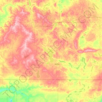
Name: McIntosh County topographic map, elevation, terrain.
Location: McIntosh County, North Dakota, United States (45.93994 -99.88196 46.28300 -99.00312)
Average elevation: 618 m
Minimum elevation: 542 m
Maximum elevation: 691 m