
Thank you for supporting this site ❤️
Make a donation
Make a donation
Atakent Mahallesi topographic map
Click on the map to display elevation.
Thank you for supporting this site ❤️
Make a donation
Make a donation
About this map
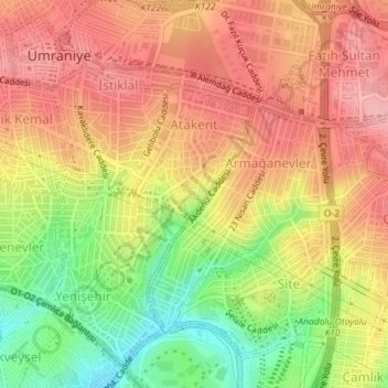
Name: Atakent Mahallesi topographic map, elevation, terrain.
Location: Atakent Mahallesi, Ümraniye, Istanbul, Marmara Region, Turkey (41.00734 29.10004 41.02434 29.11443)
Average elevation: 111 m
Minimum elevation: 36 m
Maximum elevation: 162 m
Thank you for supporting this site ❤️
Make a donation
Make a donation