
Thank you for supporting this site ❤️
Make a donation
Make a donation
Reeds topographic map
Click on the map to display elevation.
Thank you for supporting this site ❤️
Make a donation
Make a donation
About this map
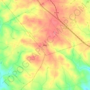
Name: Reeds topographic map, elevation, terrain.
Location: Reeds, Hart County, Georgia, United States (34.20705 -83.09765 34.24705 -83.05765)
Average elevation: 237 m
Minimum elevation: 191 m
Maximum elevation: 265 m
Thank you for supporting this site ❤️
Make a donation
Make a donation