
Uniondale topographic map
Interactive map
Click on the map to display elevation.
About this map
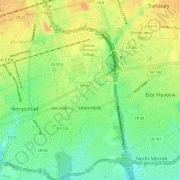
Name: Uniondale topographic map, elevation, terrain.
Average elevation: 24 m
Minimum elevation: 9 m
Maximum elevation: 39 m
Other topographic maps
Click on a map to view its topography, its elevation and its terrain.
Westbury
United States > New York > Nassau County > Westbury > Westbury
Westbury, Town of North Hempstead, Nassau County, New York, 11590, United States
Average elevation: 39 m
Massapequa Park
United States > New York > Nassau County > Massapequa Park
Massapequa Park, Town of Oyster Bay, Nassau County, New York, 11758, United States
Average elevation: 9 m