
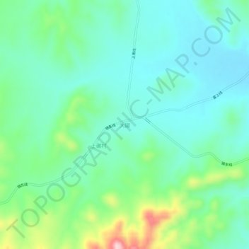
大碾 topographic map
Interactive map
Click on the map to display elevation.
About this map
Name: 大碾 topographic map, elevation, terrain.
Location: 大碾, 凌海市, 锦州市, 辽宁省, 121000, 中国 (41.27682 120.77905 41.31682 120.81905)
Average elevation: 177 m
Minimum elevation: 114 m
Maximum elevation: 369 m
Other topographic maps
Click on a map to view its topography, its elevation and its terrain.