
翁墩乡 topographic map
Interactive map
Click on the map to display elevation.
About this map
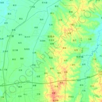
Name: 翁墩乡 topographic map, elevation, terrain.
Location: 翁墩乡, 金安区, 六安市, 安徽省, 中国 (31.83205 116.59095 31.99042 116.67786)
Average elevation: 41 m
Minimum elevation: 27 m
Maximum elevation: 70 m
Other topographic maps
Click on a map to view its topography, its elevation and its terrain.