
Crown topographic map
Interactive map
Click on the map to display elevation.
About this map
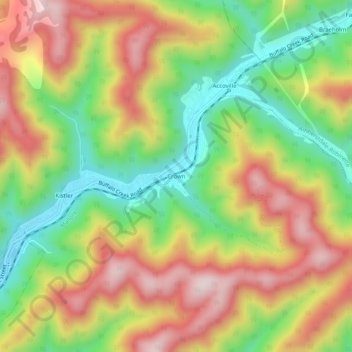
Name: Crown topographic map, elevation, terrain.
Location: Crown, Logan County, West Virginia, 25654, USA (37.73844 -81.86401 37.77844 -81.82401)
Average elevation: 451 m
Minimum elevation: 225 m
Maximum elevation: 691 m