
Aït Ouabane topographic map
Interactive map
Click on the map to display elevation.
About this map
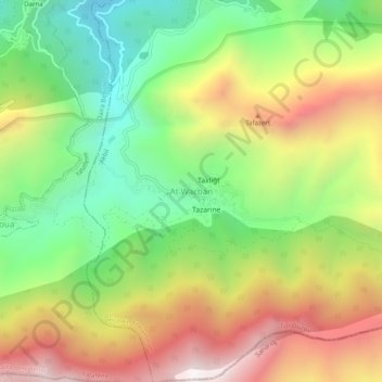
Name: Aït Ouabane topographic map, elevation, terrain.
Location: Aït Ouabane, Daïra Aïn El Hammam, Tizi Ouzou, RADP (36.46146 4.27413 36.50146 4.31413)
Average elevation: 1,241 m
Minimum elevation: 677 m
Maximum elevation: 1,940 m