
Haus Heidhorn topographic map
Interactive map
Click on the map to display elevation.
About this map
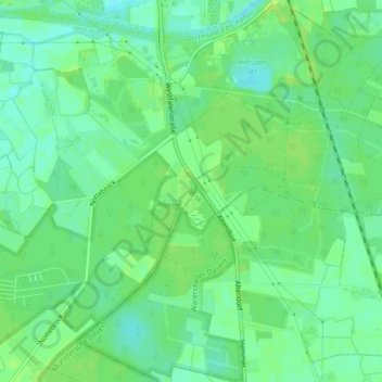
Name: Haus Heidhorn topographic map, elevation, terrain.
Average elevation: 59 m
Minimum elevation: 52 m
Maximum elevation: 65 m
Other topographic maps
Click on a map to view its topography, its elevation and its terrain.
Rinkerode
Deutschland > Nordrhein-Westfalen > Kreis Warendorf > Drensteinfurt
Rinkerode, Drensteinfurt, Kreis Warendorf, Nordrhein-Westfalen, Deutschland
Average elevation: 60 m