
Vallombrosa topographic map
Interactive map
Click on the map to display elevation.
About this map
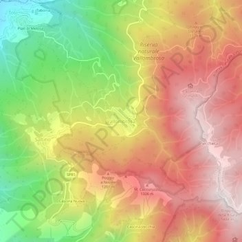
Name: Vallombrosa topographic map, elevation, terrain.
Location: Vallombrosa, Reggello, Firenze, Toscane, Italie (43.71272 11.53509 43.75272 11.57509)
Average elevation: 1,004 m
Minimum elevation: 423 m
Maximum elevation: 1,472 m
Other topographic maps
Click on a map to view its topography, its elevation and its terrain.