
Bokspits topographic map
Interactive map
Click on the map to display elevation.
About this map
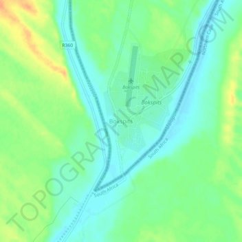
Name: Bokspits topographic map, elevation, terrain.
Location: Bokspits, Kgalagadi District, Botswana (-26.91547 20.67012 -26.87547 20.71012)
Average elevation: 860 m
Minimum elevation: 846 m
Maximum elevation: 882 m