
Nohl topographic map
Interactive map
Click on the map to display elevation.
About this map
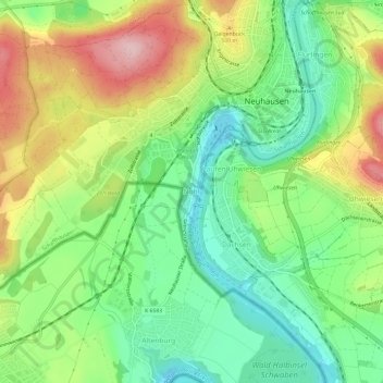
Name: Nohl topographic map, elevation, terrain.
Location: Nohl, Laufen-Uhwiesen, Bezirk Andelfingen, Zurich, 8248, Suisse (47.65173 8.58805 47.69173 8.62805)
Average elevation: 439 m
Minimum elevation: 352 m
Maximum elevation: 570 m