
Apartaderos topographic map
Interactive map
Click on the map to display elevation.
About this map
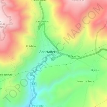
Name: Apartaderos topographic map, elevation, terrain.
Location: Apartaderos, Municipio Rangel, Mérida, Venezuela (8.77970 -70.87401 8.81970 -70.83401)
Average elevation: 3,619 m
Minimum elevation: 3,210 m
Maximum elevation: 4,101 m