
Mkira topographic map
Interactive map
Click on the map to display elevation.
About this map
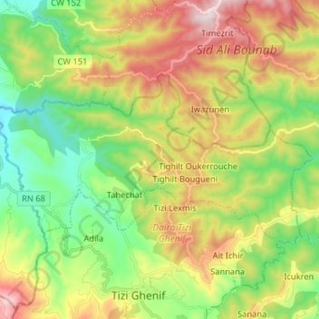
Name: Mkira topographic map, elevation, terrain.
Location: Mkira, Daïra Tizi Ghenif, Tizi Ouzou, Algérie (36.60378 3.71543 36.65965 3.84534)
Average elevation: 394 m
Minimum elevation: 87 m
Maximum elevation: 860 m