
East Hampstead topographic map
Interactive map
Click on the map to display elevation.
About this map
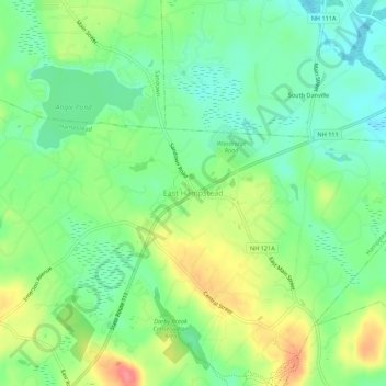
Name: East Hampstead topographic map, elevation, terrain.
Location: East Hampstead, Rockingham County, New Hampshire, 03826, USA (42.87105 -71.16252 42.91105 -71.12252)
Average elevation: 76 m
Minimum elevation: 48 m
Maximum elevation: 121 m