
Bure topographic map
Interactive map
Click on the map to display elevation.
About this map
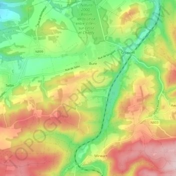
Name: Bure topographic map, elevation, terrain.
Location: Bure, Tellin, Neufchâteau, Luxembourg, Wallonie, Belgique (50.05014 5.22666 50.11019 5.29152)
Average elevation: 310 m
Minimum elevation: 182 m
Maximum elevation: 457 m