
Heath Springs topographic map
Interactive map
Click on the map to display elevation.
About this map
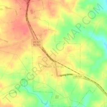
Name: Heath Springs topographic map, elevation, terrain.
Average elevation: 201 m
Minimum elevation: 165 m
Maximum elevation: 224 m
Other topographic maps
Click on a map to view its topography, its elevation and its terrain.
Indian Land
United States > South Carolina > Lancaster County
Indian Land, Lancaster County, South Carolina, 29117, United States
Average elevation: 188 m
Midway Crossroads
United States > South Carolina > Lancaster County
Midway Crossroads, Lancaster County, South Carolina, United States
Average elevation: 156 m