
Thank you for supporting this site ❤️
Make a donation
Make a donation
Sundown topographic map
Click on the map to display elevation.
Thank you for supporting this site ❤️
Make a donation
Make a donation
About this map
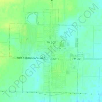
Name: Sundown topographic map, elevation, terrain.
Location: Sundown, Hockley County, Texas, 79372, United States (33.44710 -102.50252 33.46926 -102.47931)
Average elevation: 1,082 m
Minimum elevation: 1,075 m
Maximum elevation: 1,091 m
Thank you for supporting this site ❤️
Make a donation
Make a donation