
Rowland Lake topographic map
Interactive map
Click on the map to display elevation.
About this map
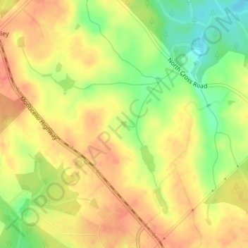
Name: Rowland Lake topographic map, elevation, terrain.
Location: Rowland Lake, Jones County, Georgia, United States (33.04373 -83.54250 33.04449 -83.54169)
Average elevation: 175 m
Minimum elevation: 144 m
Maximum elevation: 193 m