
Amli topographic map
Click on the map to display elevation.
About this map
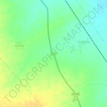
Name: Amli topographic map, elevation, terrain.
Location: Amli, Atru Tehsil, Baran, Rajasthan, India (24.93769 76.57605 24.97769 76.61605)
Average elevation: 283 m
Minimum elevation: 271 m
Maximum elevation: 296 m