
Frostburg topographic map
Interactive map
Click on the map to display elevation.
About this map
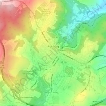
Name: Frostburg topographic map, elevation, terrain.
Location: Frostburg, Allegany County, Maryland, 21532, USA (39.63402 -78.95120 39.67684 -78.90228)
Average elevation: 621 m
Minimum elevation: 456 m
Maximum elevation: 833 m