
Thank you for supporting this site ❤️
Make a donation
Make a donation
Simata topographic map
Click on the map to display elevation.
Thank you for supporting this site ❤️
Make a donation
Make a donation
About this map
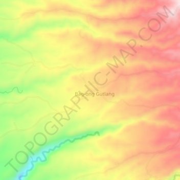
Name: Simata topographic map, elevation, terrain.
Location: Simata, Zamboanga del Sur, Zamboanga Peninsula, Philippines (8.20401 123.47150 8.24401 123.51150)
Average elevation: 391 m
Minimum elevation: 189 m
Maximum elevation: 532 m
Thank you for supporting this site ❤️
Make a donation
Make a donation