
Course topographic map
Interactive map
Click on the map to display elevation.
About this map
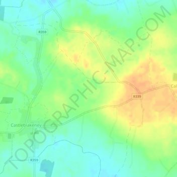
Name: Course topographic map, elevation, terrain.
Average elevation: 75 m
Minimum elevation: 59 m
Maximum elevation: 94 m
Other topographic maps
Click on a map to view its topography, its elevation and its terrain.
Kylemore
Kylemore, Loughrea Municipal District, County Galway, Connacht, Ireland
Average elevation: 45 m