
Thank you for supporting this site ❤️
Make a donation
Make a donation
Cyrus topographic map
Click on the map to display elevation.
Thank you for supporting this site ❤️
Make a donation
Make a donation
About this map
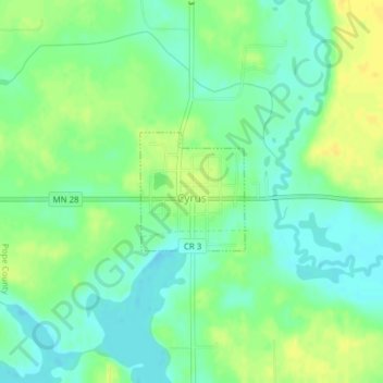
Name: Cyrus topographic map, elevation, terrain.
Location: Cyrus, Pope County, Minnesota, United States (45.61093 -95.74332 45.61929 -95.73273)
Average elevation: 348 m
Minimum elevation: 337 m
Maximum elevation: 360 m
Thank you for supporting this site ❤️
Make a donation
Make a donation