
Chott El Hodna topographic map
Interactive map
Click on the map to display elevation.
About this map
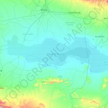
Name: Chott El Hodna topographic map, elevation, terrain.
Location: Chott El Hodna, Ouled Madhi, Daïra Chellal, M'Sila, RADP (35.30888 4.24011 35.54793 5.08142)
Average elevation: 492 m
Minimum elevation: 388 m
Maximum elevation: 1,308 m