
Le Fosse topographic map
Interactive map
Click on the map to display elevation.
About this map
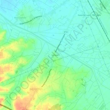
Name: Le Fosse topographic map, elevation, terrain.
Location: Le Fosse, San Lorenzo, Cortona, Arezzo, Toscane, 52044, Italie (43.21455 11.93975 43.25455 11.97975)
Average elevation: 260 m
Minimum elevation: 247 m
Maximum elevation: 287 m