
Ingoldmells topographic map
Click on the map to display elevation.
About this map
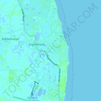
Name: Ingoldmells topographic map, elevation, terrain.
Location: Ingoldmells, East Lindsey, Lincolnshire, England, United Kingdom (53.17157 0.32424 53.21023 0.35797)
Average elevation: 1 m
Minimum elevation: -5 m
Maximum elevation: 7 m