
Fortul topographic map
Interactive map
Click on the map to display elevation.
About this map
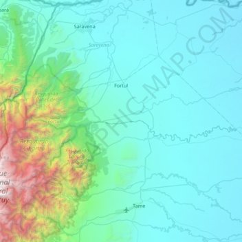
Name: Fortul topographic map, elevation, terrain.
Location: Fortul, Arauca, RAP Llanos, Colombia (6.51490 -72.12643 6.87437 -71.45540)
Average elevation: 674 m
Minimum elevation: 153 m
Maximum elevation: 4,374 m
Other topographic maps
Click on a map to view its topography, its elevation and its terrain.