
Trumpf topographic map
Interactive map
Click on the map to display elevation.
About this map
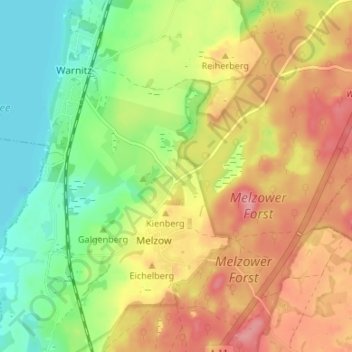
Name: Trumpf topographic map, elevation, terrain.
Location: Trumpf, Melzow, Uckermark, Brandemburgo, 17291, Alemania (53.15502 13.87516 53.19502 13.91516)
Average elevation: 63 m
Minimum elevation: 13 m
Maximum elevation: 115 m