
Henning topographic map
Interactive map
Click on the map to display elevation.
About this map
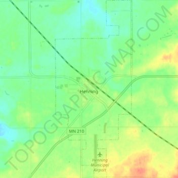
Name: Henning topographic map, elevation, terrain.
Location: Henning, Otter Tail County, Minnesota, United States (46.29692 -95.45927 46.34757 -95.42760)
Average elevation: 437 m
Minimum elevation: 420 m
Maximum elevation: 463 m