
Çömlecik topographic map
Interactive map
Click on the map to display elevation.
About this map
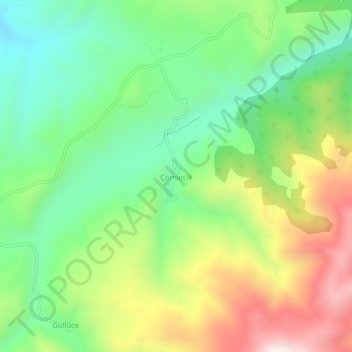
Name: Çömlecik topographic map, elevation, terrain.
Location: Çömlecik, Kelkit, Gümüşhane, Région de la mer Noire, Turquie (39.91539 39.66908 39.95539 39.70908)
Average elevation: 2,108 m
Minimum elevation: 1,801 m
Maximum elevation: 2,597 m