
Almeida topographic map
Interactive map
Click on the map to display elevation.
About this map
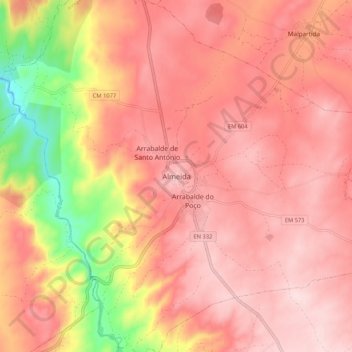
Name: Almeida topographic map, elevation, terrain.
Location: Almeida, Guarda, 6350-114, Portugal (40.68633 -6.94675 40.76633 -6.86675)
Average elevation: 685 m
Minimum elevation: 489 m
Maximum elevation: 775 m