
Southend topographic map
Interactive map
Click on the map to display elevation.
About this map
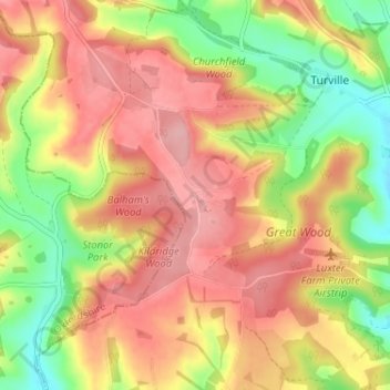
Name: Southend topographic map, elevation, terrain.
Location: Southend, Bucks, South East, Inghilterra, RG9 6JN, Regno Unito (51.58202 -0.93535 51.62202 -0.89535)
Average elevation: 146 m
Minimum elevation: 72 m
Maximum elevation: 204 m